With field-verified intelligence and 25+ years of CRE expertise, ID Plans helps you lease faster, reduce costs, and manage smarter.
Detailed space plans, 3D virtual tours, and 360 aerial photography stored in the cloud help you move faster and make better business decisions.
CRE Brokers
Property Developers
Building Owners & REITs
Tenants and Retailers
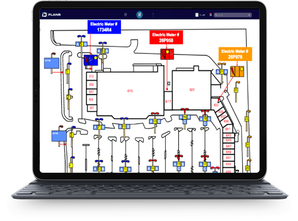
Our flagship software, Remote Property Manager, was designed to provide comprehensive site plans that catalog all exterior details of a property, from HVAC units to parking spaces and everything in between.
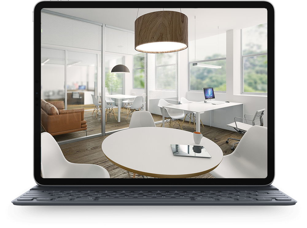
We deploy a nationwide team to gather, locate and verify all data points in each space using state-of-the art camera equipment, and our technology experts take that information and input it into our cutting-edge, cloud-based software application

We film orbital video and take aerial drone photography with 20-40x higher resolution than Google Maps. In only an hour we can provide ortho-mosaic mappings with 360-degree views of the property and its surroundings.

ID 360 reports are valuable assets for leasing teams looking to market their properties more efficiently. With accurate, up-to-date information on the spaces, leasing teams can target their marketing efforts and be more deliberate in attracting tenants that are a good fit.
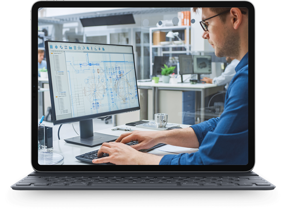
Our design experts convert property measurements into CAD drawings stored in the cloud. This allows our customers to view all their assets in one place and gives them the ability to easily update their data and share it with vendors, potential tenants, and team members across the globe.
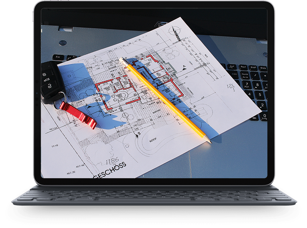
Our highly trained staff of field agents gathers over 500 different data points on your building. Everything from landscape, parking, lighting, water, electric, HVAC, waste, and more is included in the standardized RPM report.
ID Plans collects property data quickly and accurately, giving developers and brokers more control over costs, reducing time to lease, protecting owners from liability, and allowing teams to manage their entire portfolio remotely.




Collect, organize, and promote commercial property data today with a free demo.


